
Del 4
Del i serien Historic English Counties Collection
Worcestershire 1610 – 1836 – Fold Up Map that features a collection of Four Historic Maps, John Speed’s County Map 1610, Johan Blaeu’s County Map of 1648, Thomas Moules County Map of 1836 and Cole and Roper’s Plan of the City of Worcester 1805. The map’s also features early Victorian views from around Worcestershire.
Häftad, Engelska, 2018
329 kr
Tillfälligt slut
Produktinformation
- Utgivningsdatum2018-12-20
- Mått134 x 227 x 53 mm
- Vikt104 g
- FormatHäftad
- SpråkEngelska
- SerieHistoric English Counties Collection
- Antal sidor1
- FörlagHistorical Images Ltd
- ISBN9781844918331
Tillhör följande kategorier
Hoppa över listan







Du kanske också är intresserad av
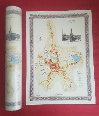
Lichfield 1781 - Old Map Supplied Rolled in a Clear Two Part Screw Presentation Tube - Print Size 45cm x 32cm
Historical Images Ltd
Häftad, 2022
219 kr
From Canals to Early Steam Railways - A History in Maps
Paul Leslie Line, Langham, Mapseeker Archive Publishing
Inbunden, 2013
329 kr
Del 23
Collection of Four Historic Maps of Norfolk from 1611 - 1836
Mapseeker Archive Publishing Ltd Mapseeker Archive Publishing Ltd
Häftad, 2019
329 kr
Peaky Blinders Fold Up Street Map of Birmingham 1892 - All Streets Roads and Avenues fully indexed to location grids - Map is surrounded by 22 real life character's that were labelled as "Peaky Blinders" including those who were later members of Billy Kimber's notorious Birmingham gang.
Historical Images Ltd
Häftad, 2018
329 kr
Revolutionary Times Atlas of Warwickshire and Worcestershire - 1830-1840
Paul Leslie Line
Inbunden, 2018
329 kr
Del 29
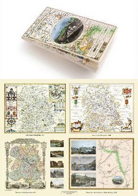
Shropshire 1611 – 1836 – Fold Up Map that features a collection of Four Historic Maps, John Speed’s County Map 1611, Johan Blaeu’s County Map of 1648, Thomas Moules County Map of 1836 and a Map of the Severn Valley Railway in 1887.The maps also feature a number of early views across Shropshire including the famous Ironbridge over the Severn and the Severn at Bridgnorth.
Mapseeker Publishing Ltd Mapseeker Publishing Ltd
Häftad, 2019
329 kr