
Del 1
Del 8 i serien Mapping the Past
226 City Maps of Jacob van Deventer in Figures
Street Lengths, Accuracy in Relation to Modern Maps, Cross-Comparisons
Häftad, Engelska, 2026
3 959 kr
Beställningsvara. Skickas inom 5-8 vardagar. Fri frakt för medlemmar vid köp för minst 249 kr.
In this publication, Peter van Druenen presents an innovative method by which – for the first time – all 226 city maps created by Jacob van Deventer between 1545 and 1575 have been systematically and consistently measured, analysed for quality, and compared. The essence of this ‘Passus Method’ lies in considering the relationship between the length of built-up street sides and the size of a city’s population. The method enables objective comparisons with other city maps from the 16th, 17th, and 18th centuries, thereby allowing for the construction of demographic series that are, in turn, important for mapping migration and urbanisation movements and patterns.
Produktinformation
- Utgivningsdatum2026-06-18
- Mått215 x 279 x 28 mm
- Vikt1 925 g
- FormatHäftad
- SpråkEngelska
- SerieMapping the Past
- Antal sidor576
- FörlagBrill
- ISBN9789004755024
Tillhör följande kategorier
Hoppa över listan


Mer från samma serie
Del 3
Del 7
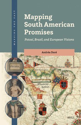
Mapping South American Promises: Potosí, Brazil, and European Visions
Andréa Doré
Inbunden, 2025
3 039 kr
Del 4
L'Amérique Méridionale: The Map That Shaped Brazil in the 18th Century
Junia Ferreira Furtado
Inbunden, 2024
2 659 kr
Del 6
Hoppa över listan


Du kanske också är intresserad av
Del 7
Mapping South American Promises: Potosí, Brazil, and European Visions
Andréa Doré
Inbunden, 2025
3 039 kr
Del 3
Del 4
L'Amérique Méridionale: The Map That Shaped Brazil in the 18th Century
Junia Ferreira Furtado
Inbunden, 2024
2 659 kr
- Nyhet
Del 3
Del 1
Del 6
- Nyhet
Del 11
- Nyhet
Del 4
- Nyhet
Del 4