
Nottingham A-Z Street Atlas
Häftad, Engelska, 2021
129 kr
Skickas . Fri frakt för medlemmar vid köp för minst 249 kr.
Navigate your way around Nottingham with this detailed and easy-to-use A-Z Street Atlas.Printed in full-colour, paperback format, this atlas contains 74 pages of continuous street mapping.The main mapping extends beyond central Nottingham at a scale of 4 inches to 1 mile, featuring postcode districts, one-way streets, park and ride sites, and safety camera locations. Areas covered include:• Arnold• Beeston• Burton Joyce• Calverton• Carlton• Clifton• Cotgrave• Eastwood• Heanor• Hucknall• Ilkeston• Keyworth• Long Eaton• Radcliffe on Trent• Stapleford• West BridgfordSeparate coverage of Bingham is provided.The large-scale street map of Nottingham city centre – at a scale of 8 inches to 1 mile – includes:• Postcode map of the Nottingham area• Road map of the Nottingham area• Nottingham Express Transit mapA comprehensive index lists streets, selected flats, walkways and places of interest, place, area and station names. Additional healthcare (hospitals, walk-in centres and hospices) and transport connections (Nottingham Express Transit) are indexed as well.
Produktinformation
- Utgivningsdatum2021-03-04
- Mått149 x 215 x 6 mm
- Vikt200 g
- FormatHäftad
- SpråkEngelska
- Antal sidor128
- Upplaga9
- FörlagHarperCollins Publishers
- ISBN9780008445188
- MiljömärkningProduced using independently certified paper to ensure responsible forestry management. (Certification is by FSC, PEFC or SFI.)
Tillhör följande kategorier
Hoppa över listan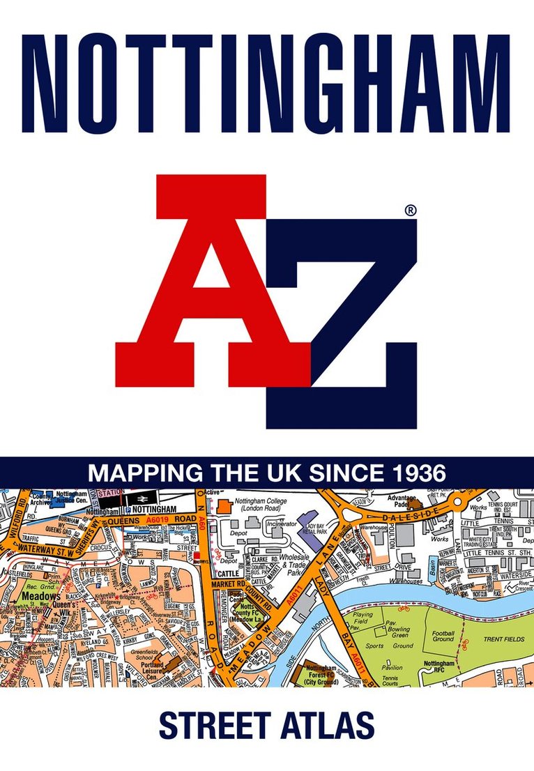


Du kanske också är intresserad av
- Nyhet
- Nyhet
- Nyhet
Del 1
- Nyhet
Del 6
- Nyhet
Hjärnans akilleshälar : hur din hjärna lurar dig, och vad du kan göra åt det
Anders Hansen
Inbunden
279 kr329 kr
- Nyhet
- Nyhet