
Del i serien Palestine Exploration Fund Annual
Mapping Jordan Through Two Millennia
Inbunden, Engelska, 2008
979 kr
Tillfälligt slut
Finns i fler format (1)
This book shows how travellers and scholars since Roman times have put together their maps of the land east of the River Jordan. It traces the contribution of Roman armies and early Christian pilgrims and medieval European travellers, Crusading armies, learned scholars like Jacob Ziegler, sixteenth-century mapmakers like Mercator and Ortelius, eighteenth-century travellers and savants, and nineteenth-century biblical scholars and explorers like Robinson and Smith, culminating in the late-nineteenth century surveyors working for the Palestine Exploration Fund. This original and valuable book shows, with full illustrations, how maps of the Transjordan region developed through the centuries, and with its detailed tables and bibliography will aid future scholars in further research.The author took part in archaeological excavations and surveys in Jordan, was Associate Professor of Biblical Studies and Fellow at Trinity College Dublin, has published research papers and books on ancient Jordan. John Bartlett was the editor of the Palestine Exploration Quarterly, and until recently was the Chairman of the Palestine Exploration Fund.
Produktinformation
- Utgivningsdatum2008-07-01
- Mått210 x 280 x undefined mm
- Vikt978 g
- FormatInbunden
- SpråkEngelska
- SeriePalestine Exploration Fund Annual
- Antal sidor175
- FörlagManey Publishing
- ISBN9781905981403
Tillhör följande kategorier
Hoppa över listan

Mer från samma serie
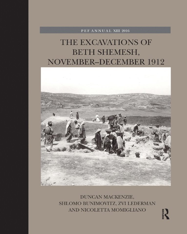
Excavations of Beth Shemesh, November-December 1912
Duncan MacKenzie, Shlomo Bunimovitz, Zvi Lederman, Nicoletta Momigliano
Häftad, 2019
919 kr
Hoppa över listan

Du kanske också är intresserad av
Final Report of Excavations on The Hill of The Ophel by R.A.S. Macalister and J. Garrow Duncan 1923–1925
Garth Gilmour
Häftad, 2025
919 kr
Excavations of Beth Shemesh, November-December 1912
Duncan MacKenzie, Shlomo Bunimovitz, Zvi Lederman, Nicoletta Momigliano
Inbunden, 2016
2 939 kr
Final Report of Excavations on The Hill of The Ophel by R.A.S. Macalister and J. Garrow Duncan 1923–1925
Garth Gilmour
Inbunden, 2024
3 259 kr
Excavations of Beth Shemesh, November-December 1912
Duncan MacKenzie, Shlomo Bunimovitz, Zvi Lederman, Nicoletta Momigliano
Häftad, 2019
919 kr