
Del i serien Water Science and Technology Library
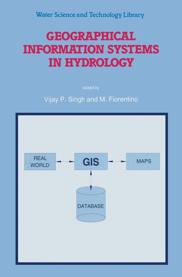
Geographical Information Systems in Hydrology
Inbunden, Engelska, 1996
2 089 kr
Beställningsvara. Skickas inom 10-15 vardagar. Fri frakt för medlemmar vid köp för minst 249 kr.
This text provides a comprehensive treatment of GIS technology and its application to a range of hydrologic problems. It contains 16 chapters, written by leading scientists from around the globe, that provide an in-depth discussion of GIS applications. Hydrologic modelling is becoming increasingly global, in terms of both spatial scale and depth of treatment. This globalization of hydrology is placing new and greater demands for data, and more sophisticated techniques for managing and processing them. It is now possible to meet those demands through application of remote sensing and GIS technology.
Produktinformation
- Utgivningsdatum1996-09-30
- Mått156 x 234 x 30 mm
- Vikt860 g
- FormatInbunden
- SpråkEngelska
- SerieWater Science and Technology Library
- Antal sidor446
- Upplaga1996
- FörlagKluwer Academic Publishers
- ISBN9780792342267
Tillhör följande kategorier
Hoppa över listan


Du kanske också är intresserad av
Entropy and Energy Dissipation in Water Resources
Vijay P. Singh, M. Fiorentino, M. Fiorintino
Inbunden, 1992
1 119 kr
- Nyhet
Del 6
- Nyhet
Del 3
- Nyhet