
Del i serien O'Reilly Ser.
Web Mapping Illustrated
Using Open Source GIS Toolkits
Häftad, Engelska, 2005
499 kr
Beställningsvara. Skickas inom 5-8 vardagar. Fri frakt för medlemmar vid köp för minst 249 kr.
With the help of the Internet and accompanying tools, creating and publishing on-line maps has become easier and rich with options. A city guide web site can use maps to show the location of restaurants, museums, and art venues. A business can post a map for reaching its offices. The state government can present a map showing average income by area. Developers who want to publish maps on the web often discover that commercial tools cost too much and hunting down the free tools scattered across Internet can use up too much of your time and resources. "Web Mapping Illustrated" shows you how to create maps, even interactive maps, with free tools, including MapServer, OpenEV, GDAL/OGR, and PostGIS. It also explains how to find, collect, understand, use, and share mapping data, both over the traditional Web and using OGC-standard services like WFS and WMS. Mapping is a growing field that goes beyond collecting and analyzing GIS data. "Web Mapping Illustrated" shows how to combine free geographic data, GPS, and data management tools into one resource for your mapping information needs so you don't have to lose your way while searching for it.Remember the fun you had exploring the world with maps? Experience the fun again with "Web Mapping Illustrated". This book will take you on a direct route to creating valuable maps.
Produktinformation
- Utgivningsdatum2005-07-26
- Mått1780 x 190 x 2320 mm
- Vikt650 g
- FormatHäftad
- SpråkEngelska
- SerieO'Reilly Ser.
- Antal sidor368
- FörlagO'Reilly Media
- ISBN9780596008659
Tillhör följande kategorier
Hoppa över listan


Mer från samma författare
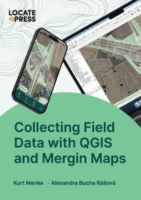
Collecting Field Data with QGIS and Mergin Maps
Kurt Menke, Alexandra Bucha Rásová, Tyler Mitchell
Häftad, 2024
739 kr
Hoppa över listan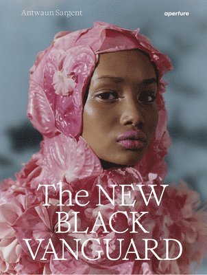
Du kanske också är intresserad av
Collecting Field Data with QGIS and Mergin Maps
Kurt Menke, Alexandra Bucha Rásová, Tyler Mitchell
Häftad, 2024
739 kr
New Black Vanguard
Antwaun Sargent, Campbell Addy, Arielle Bobb-Willis, Micaiah Carter, Awol Erizku, Nadine Ijewere, Quil Lemons, Namsa Leuba, Renell Medrano, Tyler Mitchell, Jamal Nxedlana, Daniel Obasi, Ruth Ossai, Adrienne Raquel, Dana Scruggs
Inbunden, 2019
589 kr