
Del i serien Earth Observation of Global Changes
Satellite Altimetry Over Oceans and Land Surfaces
Inbunden, Engelska, 2017
3 609 kr
Beställningsvara. Skickas inom 10-15 vardagar. Fri frakt för medlemmar vid köp för minst 249 kr.
Satellite remote sensing, in particular by radar altimetry, is a crucial technique for observations of the ocean surface and of many aspects of land surfaces, and of paramount importance for climate and environmental studies. This book provides a state-of-the-art overview of the satellite altimetry techniques and related missions, and reviews the most-up-to date applications to ocean dynamics and sea level. It also discusses related space-based observations of the ocean surface and of the marine geoid, as well as applications of satellite altimetry to the cryosphere and land surface waters; operational oceanography and its applications to navigation, fishing and defense.
Produktinformation
- Utgivningsdatum2017-10-25
- Mått178 x 254 x 45 mm
- Vikt1 496 g
- FormatInbunden
- SpråkEngelska
- SerieEarth Observation of Global Changes
- Antal sidor670
- FörlagTaylor & Francis Inc
- ISBN9781498743457
Tillhör följande kategorier
Hoppa över listan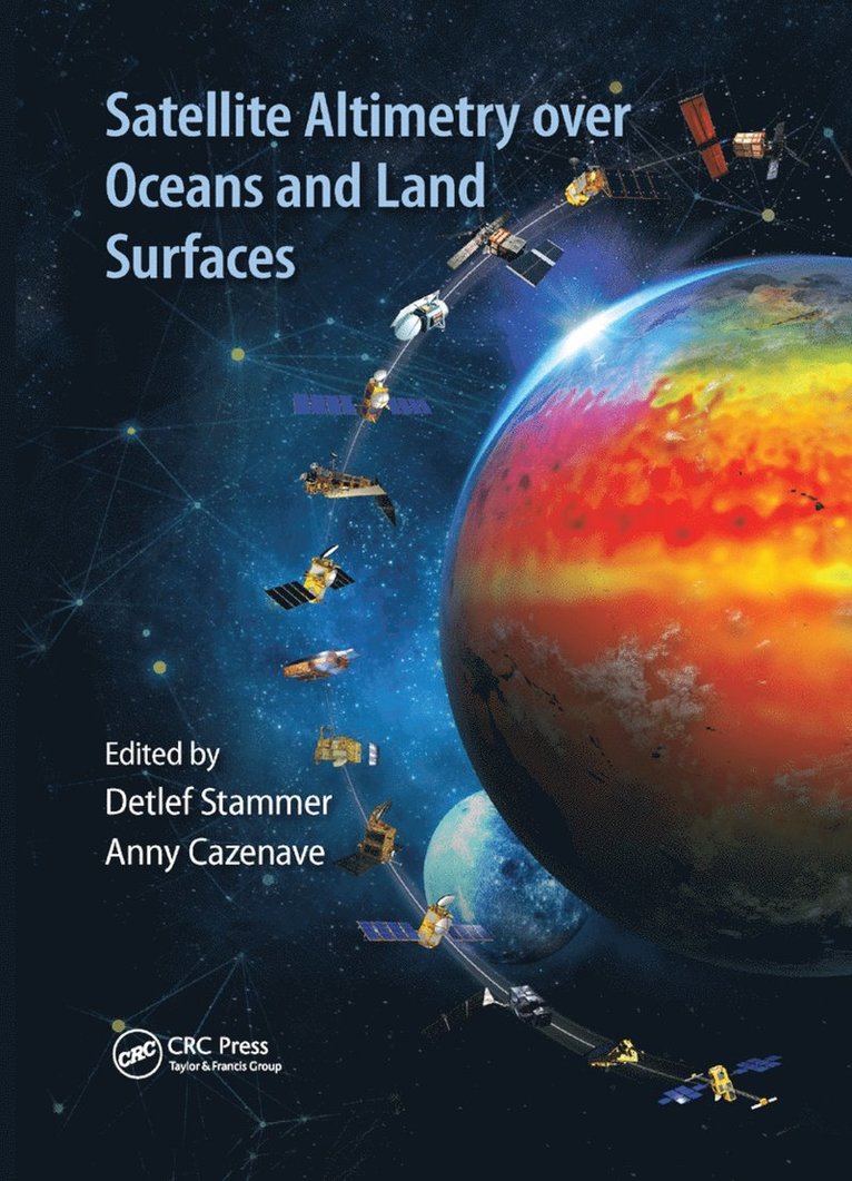


Du kanske också är intresserad av
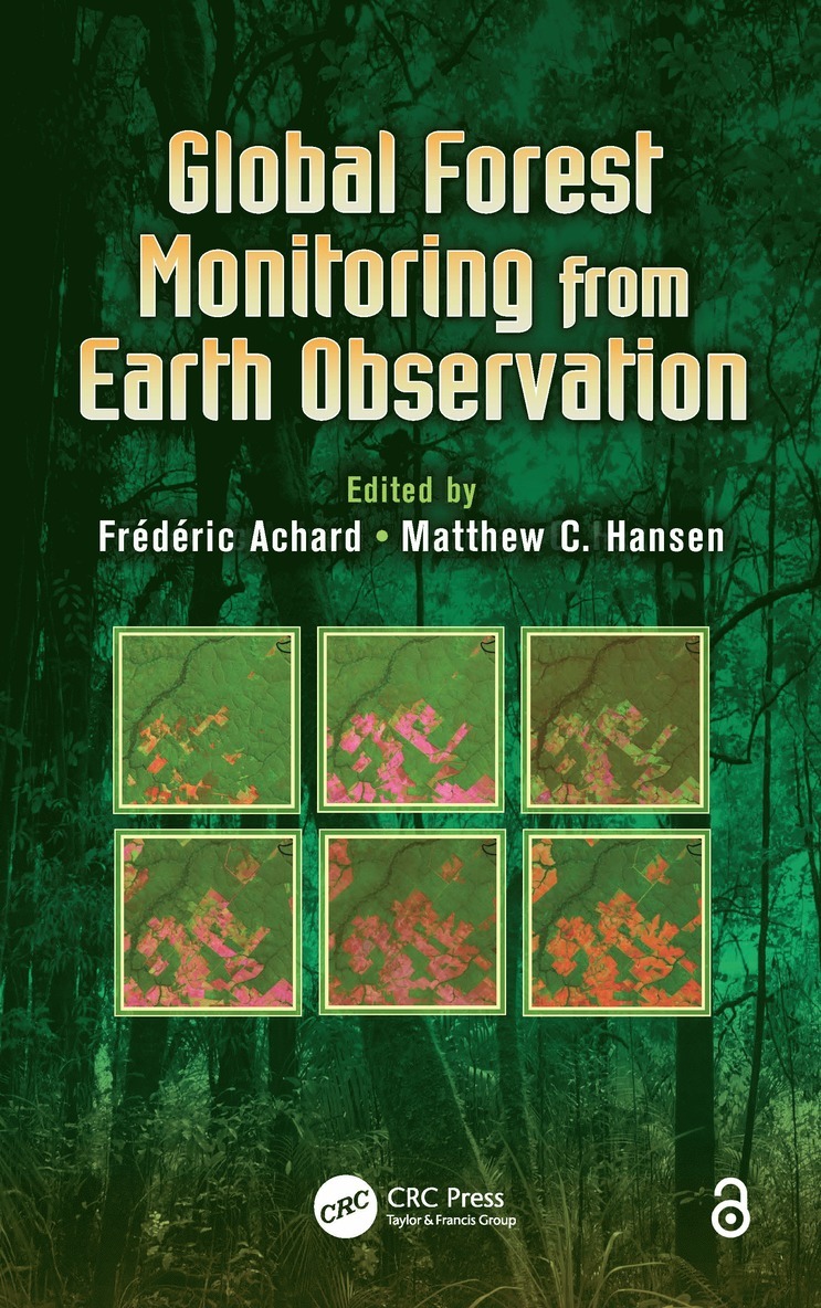
Global Forest Monitoring from Earth Observation
Frederic Achard, Matthew C. Hansen
Inbunden, 2012
2 529 kr
Earth Observation of Ecosystem Services
Domingo Alcaraz-Segura, Carlos Marcelo Di Bella, Julieta Veronica Straschnoy
Häftad, 2017
1 469 kr
Earth Observation of Ecosystem Services
Domingo Alcaraz-Segura, Carlos Marcelo Di Bella, Julieta Veronica Straschnoy
Inbunden, 2013
3 769 kr
Del 75
Relationships Between Coastal Sea Level and Large Scale Ocean Circulation
Rui M. Ponte, Benoit Meyssignac, Catia M. Domingues, Detlef Stammer, Anny Cazenave, Teodolina Lopez
Inbunden, 2020
1 549 kr
Del 75
Relationships Between Coastal Sea Level and Large Scale Ocean Circulation
Rui M. Ponte, Benoit Meyssignac, Catia M. Domingues, Detlef Stammer, Anny Cazenave, Teodolina Lopez
Häftad, 2021
1 549 kr
Del 82
Geohazards and Risks Studied from Earth Observations
Teodolina Lopez, Anny Cazenave, Mioara Mandea, Jérôme Benveniste
Inbunden, 2021
1 129 kr
Del 86
Global Change in Africa
Anny Cazenave, David Baratoux, Teodolina Lopez, Jean Kan Kouamé, Jérôme Benveniste, Lorena Moreira
Inbunden, 2023
709 kr
Del 71
Forest Properties and Carbon Cycle Studies from Earth Observations
Klaus Scipal, Anny Cazenave, Teodolina Lopez
Inbunden, 2019
2 389 kr