
Del i serien Springer Geography
Optical and SAR Remote Sensing of Urban Areas
A Practical Guide
Inbunden, Engelska, 2021
1 119 kr
Beställningsvara. Skickas inom 10-15 vardagar. Fri frakt för medlemmar vid köp för minst 249 kr.
Finns i fler format (1)
This book introduces remotely sensed image processing for urban areas using optical and synthetic aperture radar (SAR) data and assists students, researchers, and remote sensing practitioners who are interested in land cover mapping using such data.
Produktinformation
- Utgivningsdatum2021-12-03
- Mått210 x 279 x 14 mm
- Vikt528 g
- FormatInbunden
- SpråkEngelska
- SerieSpringer Geography
- Antal sidor119
- FörlagSpringer Verlag, Singapore
- ISBN9789811651489
Tillhör följande kategorier
Hoppa över listan
Mer från samma författare
- Nyhet
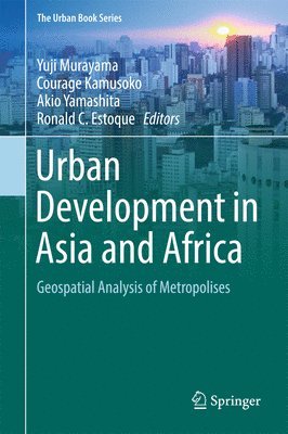
Urban Development in Asia and Africa
Yuji Murayama, Courage Kamusoko, Akio Yamashita, Ronald C. Estoque
Inbunden, 2017
3 059 kr
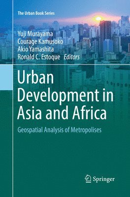
Urban Development in Asia and Africa
Yuji Murayama, Courage Kamusoko, Akio Yamashita, Ronald C. Estoque
Häftad, 2018
3 059 kr
Hoppa över listan

Mer från samma serie
Grand Ethiopian Renaissance Dam on the Blue Nile
Wossenu Abtew, Shimelis Behailu Dessu
Häftad, 2019
699 kr
Glaciokarsts
Márton Veress, Tamás Telbisz, Gábor Tóth, Dénes Lóczy, Dmitry A. Ruban, Jaroslav M. Gutak
Häftad, 2018
2 089 kr
Borderology: Cross-disciplinary Insights from the Border Zone
Jan Selmer Methi, Andrei Sergeev, Małgorzata Bieńkowska, Basia Nikiforova
Häftad, 2019
1 399 kr
Green Technologies and Infrastructure to Enhance Urban Ecosystem Services
Viacheslav Vasenev, Elvira Dovletyarova, Zhongqi Cheng, Riccardo Valentini, Carlo Calfapietra
Inbunden, 2019
2 369 kr
Hoppa över listan
Du kanske också är intresserad av
Urban Development in Asia and Africa
Yuji Murayama, Courage Kamusoko, Akio Yamashita, Ronald C. Estoque
Häftad, 2018
3 059 kr
Urban Development in Asia and Africa
Yuji Murayama, Courage Kamusoko, Akio Yamashita, Ronald C. Estoque
Inbunden, 2017
3 059 kr
- Nyhet
- Nyhet
Del 6