
MATLAB® Recipes for Earth Sciences
Häftad, Engelska, 2021
739 kr
Beställningsvara. Skickas inom 11-20 vardagar. Fri frakt för medlemmar vid köp för minst 249 kr.
Finns i fler format (4)
MATLAB® is used in a wide range of geoscientific applications, e.g. for image processing in remote sensing, for creating and processing digital elevation models, and for analyzing time series. This book introduces readers to MATLAB-based data analysis methods used in the geosciences, including basic statistics for univariate, bivariate and multivariate datasets, time-series analysis, signal processing, the analysis of spatial and directional data, and image analysis. The revised and updated Fifth Edition includes seven new sections, and the majority of the chapters have been rewritten and significantly expanded. New sections include error analysis, the problem of classical linear regression of log-transformed data, aligning stratigraphic sequences, the Normalized Difference Vegetation Index, Aitchison’s log-ratio transformation, graphical representation of spherical data, and statistics of spherical data. The book also includes numerous examples demonstrating how MATLAB can be used on datasets from the earth sciences. The supplementary electronic material (available online through SpringerLink) contains recipes that include all the MATLAB commands featured in the book and the sample data.
Produktinformation
- Utgivningsdatum2021-12-04
- Mått155 x 235 x 28 mm
- Vikt892 g
- FormatHäftad
- SpråkEngelska
- SerieSpringer Textbooks in Earth Sciences, Geography and Environment
- Antal sidor517
- Upplaga5
- FörlagSpringer Nature Switzerland AG
- ISBN9783030384432
Tillhör följande kategorier
Hoppa över listan

Mer från samma författare
Collecting, Processing and Presenting Geoscientific Information with Python
Martin H. Trauth, Elisabeth Sillmann
Inbunden, 2026
1 729 kr
Collecting, Processing and Presenting Geoscientific Information
Martin H. Trauth, Elisabeth Sillmann
Inbunden, 2018
839 kr
Collecting, Processing and Presenting Geoscientific Information
Martin H. Trauth, Elisabeth Sillmann
Häftad, 2019
599 kr
Hoppa över listan

Mer från samma serie
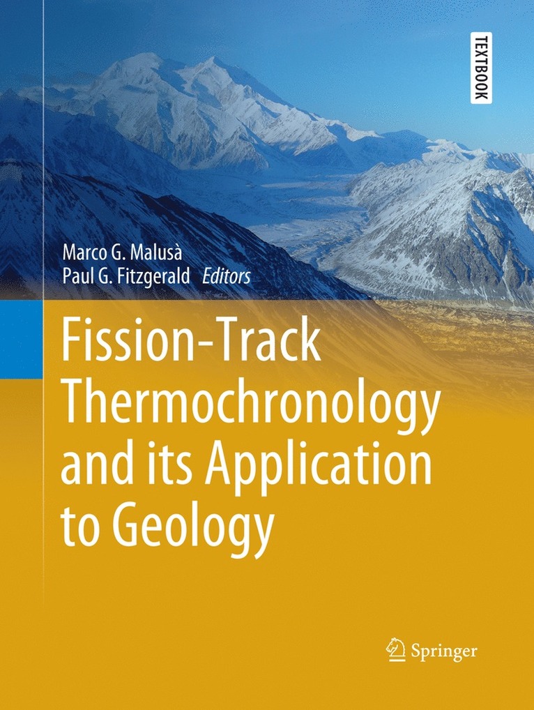
Fission-Track Thermochronology and its Application to Geology
Marco G. Malusà, Paul G. Fitzgerald
Häftad, 2019
849 kr
Critical Skills for Environmental Professionals
Jennifer Pontius, Alan McIntosh
Inbunden, 2019
1 199 kr
Hoppa över listan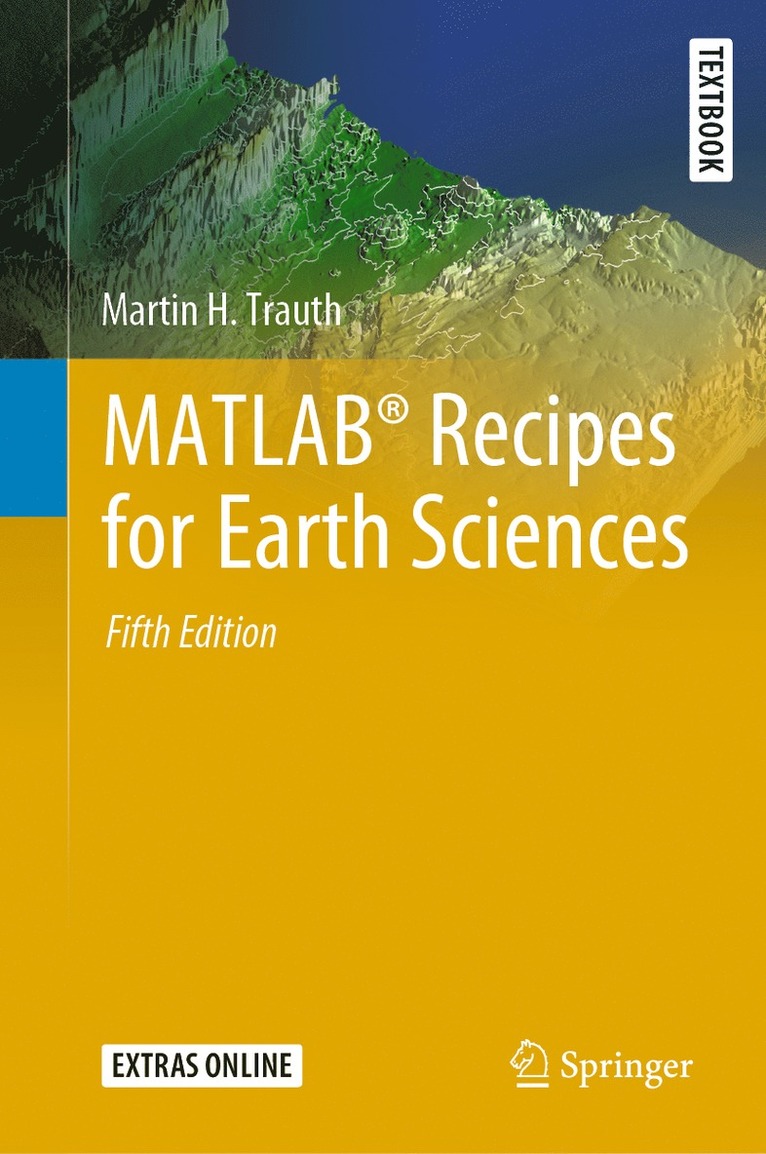
Du kanske också är intresserad av
Collecting, Processing and Presenting Geoscientific Information with Python
Martin H. Trauth, Elisabeth Sillmann
Inbunden, 2026
1 729 kr
Collecting, Processing and Presenting Geoscientific Information
Martin H. Trauth, Elisabeth Sillmann
Häftad, 2019
599 kr