
Maryland State Archives Atlas of Historical Maps of Maryland, 1608-1908
Inbunden, Engelska, 2003
1 059 kr
Tillfälligt slut
Maryland presents cartographers with a formidable test of their skills: unusual natural boundaries, border disputes, and in 1790 the gift of sixty-seven square miles for the creation of the District of Columbia have given the state a distinctively irregular configuration. Since the early seventeenth century, generations of mapmakers have met this challenge with artistic imagination and a variety of cartographical techniques. In The Maryland State Archives Atlas of Historical Maps of Maryland, 1608-1908, Edward C. Papenfuse and Joseph M. Coale III bring together in one volume the results of these remarkable efforts, from Captain John Smith's 1608 detailed sketch of the region to the map resulting from the Supreme Court's determination of the state's western border in 1908. Utilizing the latest digital imaging and printing technology, the Atlas contains stunning, full-color reproductions of more than 250 of the most significant historical maps from state and federal archives.This handsome and informative collection-a thoroughly updated and greatly expanded version of the authors' landmark book, The Hammond-Harwood House Atlas of Historical Maps of Maryland (1982)-provides an in-depth history of mapmaking in Maryland and charts the state's early settlement patterns.
Produktinformation
- Utgivningsdatum2003-06-20
- Mått318 x 368 x 22 mm
- Vikt2 427 g
- FormatInbunden
- SpråkEngelska
- Antal sidor240
- Upplaga3020
- FörlagJohns Hopkins University Press
- ISBN9780801872358
Tillhör följande kategorier
Hoppa över listan


Mer från samma författare
Biographical Dictionary of the Maryland Legislature, 1635-1789
Edward C. Papenfuse, Alan F. Day, David W. Jordan, Gregory A. Stiverson
Inbunden, 2008
1 139 kr
Biographical Dictionary of the Maryland Legislature, 1635-1789
Edward C. Papenfuse, Alan F. Day, David W. Jordan, Gregory A. Stiverson
Inbunden, 2008
1 139 kr
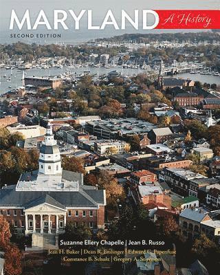
Maryland
Suzanne Ellery Chapelle, Jean B. Russo, Jean H. Baker, Dean R. Esslinger, Edward C. Papenfuse, Constance B. Schulz, Gregory A. Stiverson
Häftad, 2018
599 kr
Hoppa över listan

Du kanske också är intresserad av
Biographical Dictionary of the Maryland Legislature, 1635-1789
Edward C. Papenfuse, Alan F. Day, David W. Jordan, Gregory A. Stiverson
Inbunden, 2008
1 139 kr
Biographical Dictionary of the Maryland Legislature, 1635-1789
Edward C. Papenfuse, Alan F. Day, David W. Jordan, Gregory A. Stiverson
Inbunden, 2008
1 139 kr
Maryland
Suzanne Ellery Chapelle, Jean B. Russo, Jean H. Baker, Dean R. Esslinger, Edward C. Papenfuse, Constance B. Schulz, Gregory A. Stiverson
Häftad, 2018
599 kr
- Nyhet
Del 1
Del 1
- Nyhet
Del 6