
Del i serien Brill Research Perspectives in Map History
Maps in Newspapers
Approaches of Study and Practices in Portraying War since 19th Century
Häftad, Engelska, 2019
1 559 kr
Beställningsvara. Skickas inom 5-8 vardagar. Fri frakt för medlemmar vid köp för minst 249 kr.
Maps in newspapers generated many discussions among cartographers and geographers working from different approaches and theoretical backgrounds. This work examines these maps from a historiographical as well as a historical perspective. It considers three main questions, namely how maps in the press should be conceptualized, how cartographic images in newspapers have been studied, and how these images changed over time. In order to provide a perspective on the origins, development, and impact of war maps in the press, we will explore maps representing three geopolitical conflicts for Brazilian audiences: The War of the Triple Alliance (1864–1870), the World War II (1939–1945) and the War on Drugs in Rio de Janeiro’s favelas (1994–2010). By exploring maps on these wars, we will identify specific cartographic practices used in this genre as well as the connections that this mode has with other types of map production and consumption.
Produktinformation
- Utgivningsdatum2019-05-16
- Mått155 x 235 x 7 mm
- Vikt206 g
- FormatHäftad
- SpråkEngelska
- SerieBrill Research Perspectives in Map History
- Antal sidor118
- FörlagBrill
- ISBN9789004398825
Tillhör följande kategorier
Hoppa över listan


Mer från samma serie
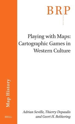
Playing with Maps: Cartographic Games in Western Culture
Adrian Seville, Thierry Depaulis, Geert H. Bekkering
Häftad, 2023
1 389 kr
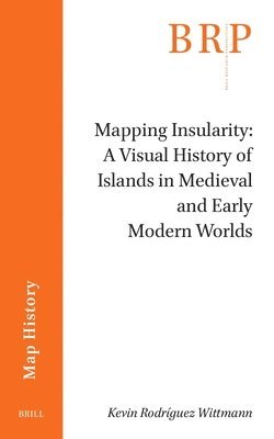
Mapping Insularity: A Visual History of Islands in Medieval and Early Modern Worlds
Kevin Rodríguez Wittmann
Häftad, 2024
1 519 kr
- Nyhet
Hoppa över listan
Du kanske också är intresserad av
Playing with Maps: Cartographic Games in Western Culture
Adrian Seville, Thierry Depaulis, Geert H. Bekkering
Häftad, 2023
1 389 kr
Mapping Insularity: A Visual History of Islands in Medieval and Early Modern Worlds
Kevin Rodríguez Wittmann
Häftad, 2024
1 519 kr
- Nyhet