
Mapping Texas and the Gulf Coast
The Contributions of Saint-Denis, Olivan, and Le Maire
Häftad, Engelska, 2008
209 kr
Beställningsvara. Skickas inom 10-15 vardagar. Fri frakt för medlemmar vid köp för minst 249 kr.
This careful study of eighteenth-century cartography along the Gulf Coast reveals a fascinating mix of cooperation and competition between Spain and France.Louis Juchereau de Saint-Denis explored much of the region around the Gulf and sent data to his homeland of France, but he also shared information with Spanish officials. Juan Manuel de Olivan Rebolledo used this information to create several maps, one of which was drawn to demonstrate how Spain might protect itself from the French threat in Louisiana and Canada.Information from the Olivan/Saint-Denis maps soon emerged on French maps. Guillaume Delisle's 1718 ""mother map"" of the Gulf Coast was made possible by Francois Le Maire, a virtually unknown French missionary in Mobile. Jack Jackson and Winston De Ville examine Le Maire's various memoirs and maps, which relied on Saint-Denis for their portrayal of the ""Western Country."" Le Maire's work explains how Delisle acquired the information to draw his profoundly influential map.This important book for cartographers will also be of interest to the lay historian and the Gulf Coast enthusiast.
Produktinformation
- Utgivningsdatum2008-03-30
- Mått190 x 234 x 5 mm
- Vikt208 g
- FormatHäftad
- SpråkEngelska
- Antal sidor112
- FörlagTexas A & M University Press
- ISBN9781603440554
Tillhör följande kategorier
Hoppa över listan


Du kanske också är intresserad av
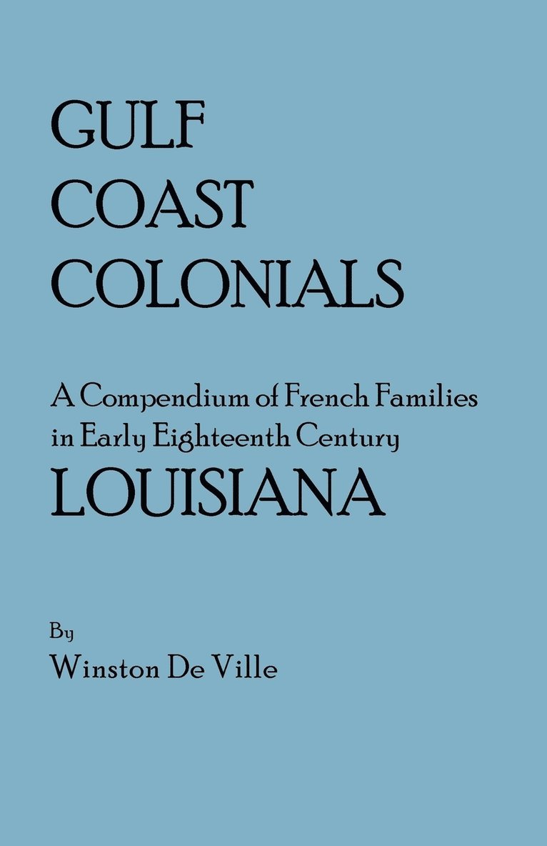
Gulf Coast Colonials. A Compendium of French Families in Early Eighteenth Century Louisiana
Winston De Ville
Häftad, 2010
259 kr
Wrecking of La Salle's Ship Aimable and the Trial of Claude Aigron
Robert S. Weddle
Häftad, 2009
279 kr
Lasalle, the Mississippi, and the Gulf
Robert S. Weddle, Mary Christine Morkovsky, Patricia Galloway
Häftad, 2000
559 kr