
Del i serien Through the Ages
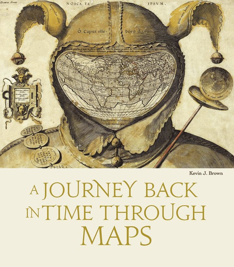
Historical Sea Charts
Visions and Voyages Through the Ages
Inbunden, Engelska, 2023
489 kr
Tillfälligt slut
This book shows the history of charts and nautical maps from the earliest known examples to the one used in the Twentieth Century, with a special focus on the map makers and the methods of use from 1300 to 1900. The maps included are part of the collection owned by Barry Lawrence Rudeman Antique Maps Inc., the world leader institution for nautical maps. The reader can find in this book the most indicative of trends and ideas through time. For each example in the volume, the reader will find out how the maps where designed and created, as well as how they were used during navigation or in preparation of the journey.
Produktinformation
- Utgivningsdatum2023-10-17
- Mått275 x 315 x 27 mm
- Vikt1 770 g
- FormatInbunden
- SpråkEngelska
- SerieThrough the Ages
- Antal sidor208
- FörlagWhite Star
- ISBN9788854417168
Tillhör följande kategorier
Hoppa över listan


Mer från samma författare
The KD Public Relations Brand Guide; Knowing and Understanding the Basics to Building a Brand
Katherine Parker
Häftad, 2024
979 kr
Hoppa över listan
Du kanske också är intresserad av
The KD Public Relations Brand Guide; Knowing and Understanding the Basics to Building a Brand
Katherine Parker
Häftad, 2024
979 kr