
Geographic Information Systems, Spatial Modelling and Policy Evaluation
Häftad, Engelska, 2011
709 kr
Beställningsvara. Skickas inom 10-15 vardagar. Fri frakt för medlemmar vid köp för minst 249 kr.
Geographical Information Systems (GIS) provide an enhanced environment for spatial data processing. The ability of geographic information systems to handle and analyse spatially referenced data may be seen as a major characteristic which distinguishes GIS from information systems developed to serve the needs of business data processing as well as from CAD systems or other systems whose primary objective is map production. This book, which contains contributions from a wide-ranging group of international scholars, demonstrates the progress which has been achieved so far at the interface of GIS technology and spatial analysis and planning. The various contributions bring together theoretical and conceptual, technical and applied issues. Topics covered include the design and use of GIS and spatial models, AI tools for spatial modelling in GIS, spatial statistical analysis and GIS, GIS and dynamic modelling, GIS in urban planning and policy making, information systems for policy evaluation, and spatial decision support systems.
Produktinformation
- Utgivningsdatum2011-12-08
- Mått170 x 242 x 17 mm
- Vikt511 g
- FormatHäftad
- SpråkEngelska
- Antal sidor280
- FörlagSpringer-Verlag Berlin and Heidelberg GmbH & Co. KG
- ISBN9783642775024
Tillhör följande kategorier
Hoppa över listan


Du kanske också är intresserad av
Metropolitan Innovation Systems
Manfred M. Fischer, Javier Revilla Diez, Folke Snickars
Inbunden, 2001
1 389 kr
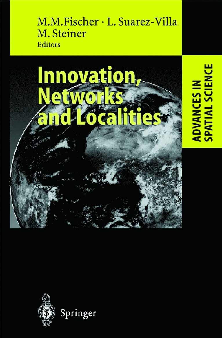
Innovation, Networks and Localities
Manfred M. Fischer, Luis Suarez-Villa, Michael Steiner
Inbunden, 1999
2 109 kr
Innovation, Networks and Localities
Manfred M. Fischer, Luis Suarez-Villa, Michael Steiner
Häftad, 2012
2 109 kr