
Del i serien Collins Road Atlas
Collins Handy Road Atlas Britain and Ireland 2027 (A5 Spiral)
Clear, Easy-to-Read Mapping
Häftad, Engelska, 2026
109 kr
Tillfälligt slut
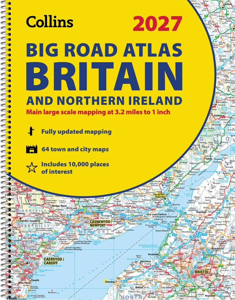
Explore Britain with easy-to-read mapping from Collins.This easy-to-use, handy A5 road atlas with spiral binding features extremely clear route planning maps of Britain and Ireland, and fits neatly into your glove box or bag.The maps of Britain are at 10 miles to 1 inch (1:625,000) and the whole of Ireland is covered at 15.8 miles to 1 inch (1:1,000,000). There is also a selection of more detailed urban area maps at 4.5 miles to 1 inch (1:285,000) to aid route planning in these busy areas. Main features: Road maps that focus on the main roads, motorways and settlementsMore detailed maps of London, Manchester, Merseyside and West MidlandsUpdated Park & Ride locations, new rail stations and extensions to tram lines in Blackpool and EdinburghHandy distance calculator chart highlighting distances between the major townsOver 30 categories of places of interest including castles, theme parks, sports venues and surfing beachesNow includes dual Welsh / English names for Welsh locations, for example, Caerdydd / Cardiff
Produktinformation
- Utgivningsdatum2026-03-12
- Mått154 x 210 x 4 mm
- Vikt140 g
- FormatHäftad
- SpråkEngelska
- SerieCollins Road Atlas
- Antal sidor80
- FörlagHarperCollins Publishers
- ISBN9780008779047
- MiljömärkningProduced using independently certified paper to ensure responsible forestry management. (Certification is by FSC, PEFC or SFI.)
Tillhör följande kategorier
Hoppa över listan

Mer från samma serie
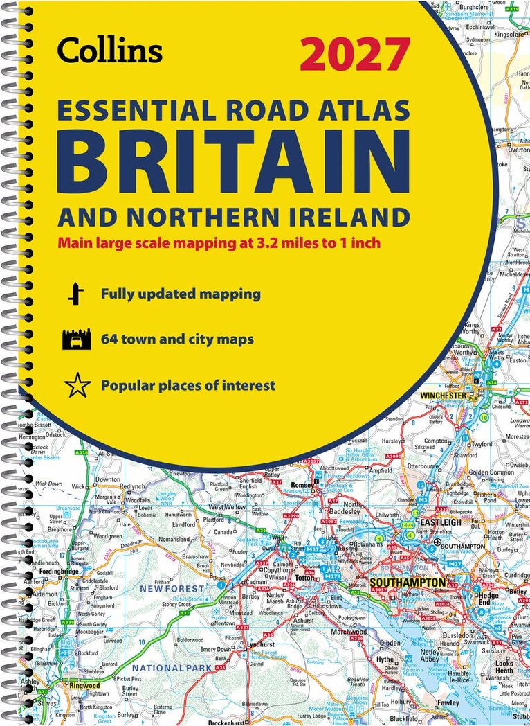
Collins Essential Road Atlas Britain and Northern Ireland 2027 (A4 Spiral)
Collins Maps
Häftad, 2026
239 kr
Hoppa över listan


Du kanske också är intresserad av
Collins Essential Road Atlas Britain and Northern Ireland 2027 (A4 Spiral)
Collins Maps
Häftad, 2026
239 kr
- Nyhet
Del 6
- Nyhet
Del 2
- Nyhet
- Nyhet