Ny

Samhälle & debatt
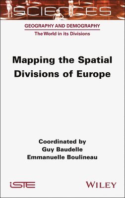
Mapping the Spatial Divisions of Europe
Guy Baudelle • Emmanuelle Boulineau • Guy Baudelle • Emmanuelle Boulineau
Inbunden
2379:-
Uppskattad leveranstid 5-10 arbetsdagar
Fri frakt för medlemmar vid köp för minst 249:-
The European continent has given rise to the greatest number of spatial divisions. Its limits have provoked numerous debates, both within and outside of the continent. The European Union, for its part, has become a laboratory for the production of divisions. Each of these divisions, a vector of identity and territoriality, reflects an intentionality, as revealed in Mapping the Spatial Divisions of Europe. The book shows the multiplicity of forms and modalities of these divisions and the actors who produce, use and question them in a globalized, and reticular world. From the continent as a whole to the individual regions via metropolitan areas and their networks, from meshing to zoning, from regionalization to representations, this book explores how these divisions are used to govern, plan, imagine and build European territories beyond the heritage of states and their borders. The chapters shed new light on the theoretical and practical issues involved in carving Europe on different time and space scales.
- Format: Inbunden
- ISBN: 9781789451818
- Språk: Engelska
- Antal sidor: 304
- Utgivningsdatum: 2025-08-07
- Förlag: ISTE Ltd

